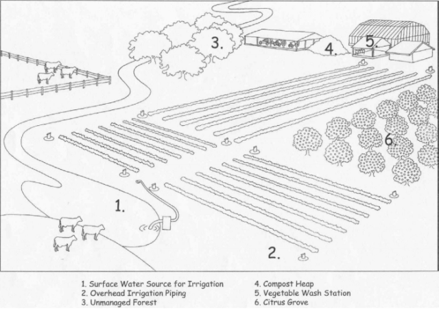
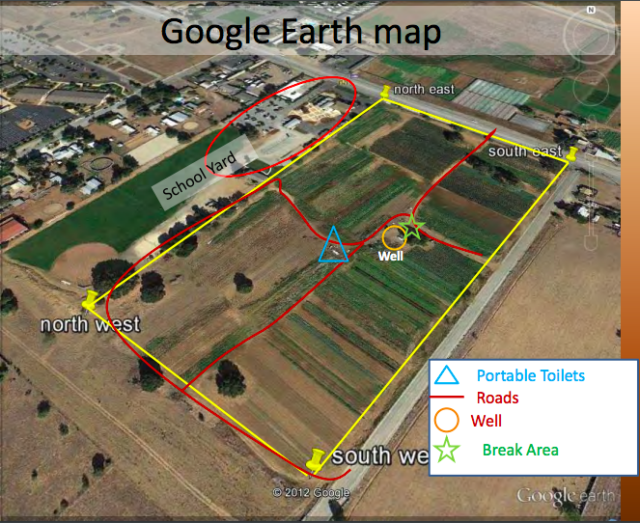
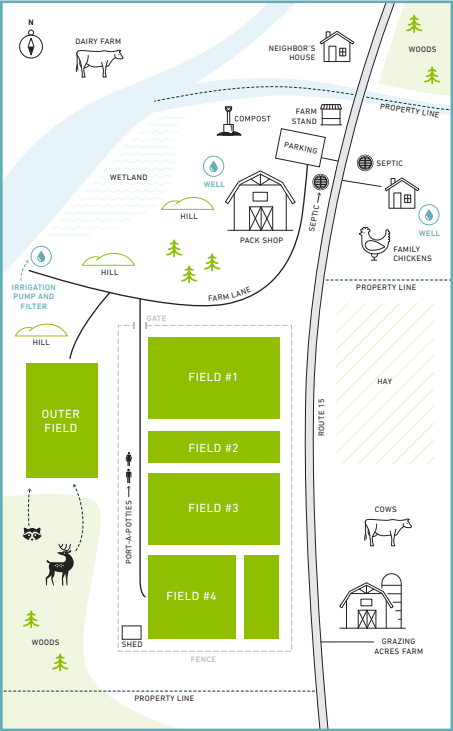
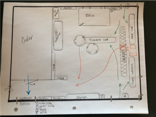
Mapping your farm can be a great way to visualize where risks exist. A map can be drawn by hand, on the computer, or pulled from Google Maps. It can be zoomed out of the entire property or zoomed in to a specific area of your farm, like your packhouse or wash station. Consider:
- current land use nearby
- previous land use (including your farm and your neighbors’ land)
- topography
- wind patterns
- location of water sources
- septic tanks and sewage systems
- packing areas and animals
- driving routes
- wildlife and domesticated animal interaction
- wildlife movement patterns
- animal population density
- fecal contamination in production areas
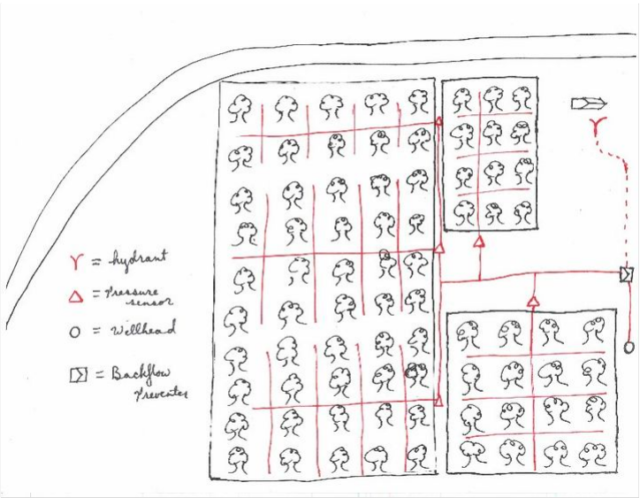
Below are a few examples of farm maps.
Map from Young Farmers Guidebook:
Packhouse map from One Straw Farm:
Water system map from MSU Extension:
University of Florida farm map and key: